


From the railway station in Jílová you will follow a small road and climb through the section in Horní Jílová and later on a field road until you reach the last houses in the village. Behind the last houses the road takes a sharp left turn. At the next crossroad it will turn to the right and towards a small grove. It will go through the grove and after passing its edge, it will twist to the left and continue along the field. You will walk straight through the two next fields ahead of you, then begin climbing slightly upward while following the forest edge and later you join a very small and rather indistinct field road which will take you down to the road in Javory. You will walk through the village. At the end of the village you will find a cross where you may enjoy beautiful views of the Elbe Valley and Děčín, the view of Chmelník in front of you and on the left side, Lothar's peak and Děčínský Sněžník behind you.
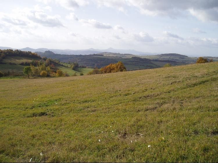
At the Pod Javory (Below maples) crossroads you will take a right turn and follow the road to Hliněné. At the beginning of Hliněné you will take a road on your left side which will take you uphill. Carefully observe your signs, because after about 500 m behind a group of trees it will turn to the left and join a side road – here you may enjoy nice views of Vrabinec Castle, Buková Mountain and the Saddle. A short road will take you uphill where you find a lonely tree. Here you make a sharp right turn and begin to climb to reach the Sedmihoří Ridge (438 m), named after the seven peaks running along the road all the way to Borek and beyond.
From this viewing post you may enjoy the view of the Czech Central Mountains and the Elbe River Valley. Go down through the forest and when you reach a meadow walk along the foothill of another hill which will take you to the village of Borek. Here the tourist trail is interrupted by a private land and barbed wire, so we make a right turn and continue down to the road which will take us back to our previous marked path. You will walk through the village and make a right turn between houses and continue towards a field road which disappears after about 200 metres in the plowed field. The sign point towards a lonely tree in the middle of the field, from where we may clearly see a large sign at the edge of the woods on the opposite side of the field.
From there the path goes through the woods again and turns into a zigzag path at the edge of the rocky cliff. Towards the end you will be descending sharply down to the Elbe river valley. Above Dobkovice you will come out to a meadow and when you reach the fence you make a right turn and follow the fence down until you reach the road. You will walk under a bridge, make a left turn and after while you will reacha a restaurant and ČSD (Railway station)in Dobkovice, where your trail ends


